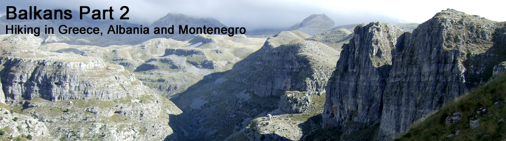
23rd September 2015
Track on Strava
I knew today was going to be a long hike, so I asked for breakfast at 6am, and was away by 6:40am, getting distracted at the last minute and nearly leaving my wallet behind.
It was still cold, dark and damp as I left Vrysochori and braced myself for 12km of tarmac road marching to Paleoseli.
 |
| Early morning view north towards Smolikas |
 |
| Looking back south towards Tsouka Rosa and Gamila Peak (Tymfi) |
 |
| Looking east up the Aoos Valley |
 |
| Tymfi Mountain and cloud inversion |
So after about 2 and a half hours of road walking with stunning views, I reached the small village of Palioseli. There was no shop as such, but there was a small bar/cafe that was open, so I stopped for a drink and bought some chocolate and a small packet of biscuits.
 |
| Palioseli |
It wasn't terribly obvious how to find the trail to Smolikas from Palioseli, so I eventually found the right trail thanks to some locals allowing me a shortcut through their gardens, and pointing me in the right direction.
 |
| Trail through Palioseli |
 |
| Wild bell flowers |
Next came 10km of forest trail that climbed higher onto broad ridges leading towards Smolikas.
 |
| Broad ridge leading towards Smolikas 2637m |
Just as I reached Drakolimni Lake 2150m the mist came in, and wind picked, which added a sense of urgency. I hid my rucksack behind a scrubby tree, and made it to the summit in about half an hour, and back down in 20 minutes.
 |
| Summit of Smolikas 2637m - 2nd highest mountain in Greece |
Just as I got back to my rucksack, the afternoon rain started.
 |
| Drakolimni Lake 2150m |
The descent was around 9km of easy angled forest trail leading down to Agia Praskevi. This looked like a ghost town, and it was still early afternoon, so I decided to just keep on going and camp somewhere in the wilderness before Dhrosopighi.
 |
| Wild fruit trees near Agia Praskevi |
 |
| Footbridge near Agia Praskevi |
After crossing the footbridge below Agia Praskevi, the trail suddenly became almost non-existent.
So the next few hours were slow going, and involved getting swarmed by flies, thrashing through undergrowth, and repeatedly losing sight of any markings. I needed to keep moving to get out of the rough forest to find some water, to find somewhere to camp, and to get my bearings for tomorrow.
 |
| Dusk - looking west towards Albania |
Luckily I found this free-flowing water source just before it got dark.
 |
| Water source |
Eventually I was running out of daylight, so stopped and put the tent up on this flat dry area under some beech trees.
 |
| Camping below beech trees |
I'm not sure what the Ray Mears Book of Survival says about camping under trees, but I didn't have too many other options available. I was slightly concerned that if there was another massive thunderstorm, camping on top of hill under some trees might not be the best idea.
I see lightning flickering away on the hills in Albania, and could hear rumbles of thunder. I could also hear all sorts of noises in the woods around me that were making me feel edgy, so I put in my earplugs and tried to get some sleep.


No comments:
Post a Comment